

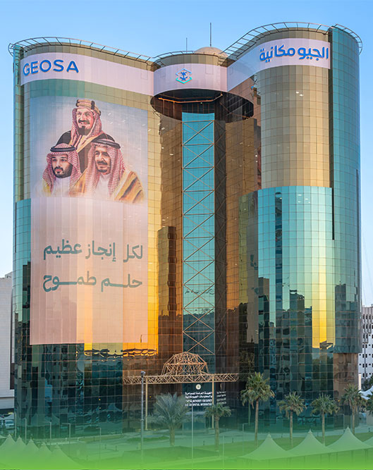
Embarking on a visionary and transformative journey, the General Authority for Surveying and Geospatial Information (GEOSA) leads the development and governance of the Kingdom of Saudi Arabia’s national geospatial ecosystem. As the authoritative body for geodetic, topographic and hydrographic surveying, and the custodian of the National Tide Gauge Network, GEOSA provides the foundational infrastructure underpinning accurate, reliable and authoritative geospatial information across the Kingdom.
Central to GEOSA’s strategic mandate is the adoption of a geospatial ecosystem approach to national geospatial information management. This approach promotes integration, interoperability and collaboration across government entities, private sector stakeholders and academia, ensuring that geospatial data is not only widely accessible but also effectively leveraged to support evidence-based decision-making and sustainable development.
At the heart of this ecosystem is the National Geospatial Centre (NGC), which serves as the national hub for governance, coordination and stewardship of geospatial data. Through the National Geoportal Platform, the NGC enables seamless discovery, access and sharing of geospatial information, thereby strengthening institutional alignment and enhancing data-driven innovation across sectors.
GEOSA plays a pivotal role in establishing and enforcing national geospatial policies, standards and specifications, ensuring consistency, quality and interoperability of geospatial data assets. In close collaboration with foundation theme custodians, GEOSA advances the development, maintenance and integration of core geospatial datasets, significantly improving the overall maturity and effectiveness of geospatial information management in the country.
Through these forward-looking initiatives, GEOSA fosters the integrated use of geospatial information and technologies, aligning with national development priorities and digital transformation objectives. Its leadership in building a cohesive, standards-driven and collaborative geospatial ecosystem positions the Kingdom of Saudi Arabia at the forefront of global geospatial innovation and excellence.
The Congress convenes under the theme “Navigating the Next Frontier: Embracing the Digital Renaissance and a New Geospatial Paradigm,” bringing together the global geospatial community to collectively explore and shape the future of geospatial information management.
16-19 November 2026